
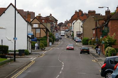
Coleshill, town in Warwickshire, England, UK
Ubicación: North Warwickshire
Coordenadas GPS: 52.49900,-1.70800
Última actualización: 9 de marzo de 2025 a las 03:55
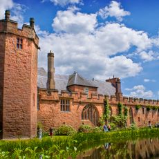
Maxstoke Castle
2.5 km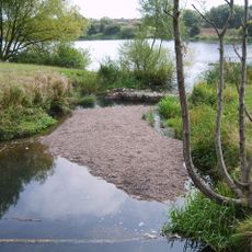
Babbs Mill Lake
3.7 km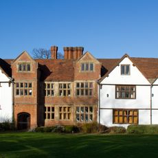
Sheldon Hall
4 km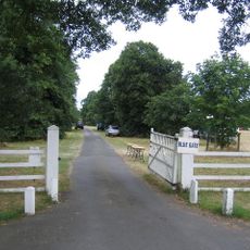
Blyth Hall
1.5 km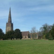
Church of St Peter and St Paul, Coleshill
200 m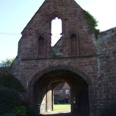
Maxstoke Priory
4.2 km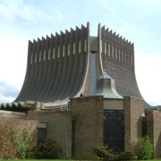
Our Lady Help of Christians Church
4.7 km
The Pumping Station, Whitacre Waterworks
2.8 km
Hemlingford
2.8 km
St Peter and St Paul's Church, Water Orton
3 km
Church of St Michael and All Angels
4.3 km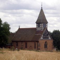
Church of St Bartholomew
4.9 km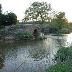
Little Packington Bridge
4.3 km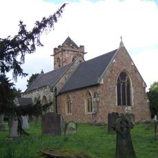
Church of St John the Baptist
3.7 km
Remains of Tower and Walls of Monastic Church Approximately 250 Metres South of Priory Farmhouse
4.2 km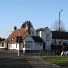
The White Hart Public House
4 km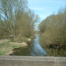
Blyth Bridge (That Part In Coleshill Civil Parish)
1.4 km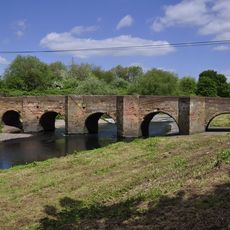
Water Orton Bridge
3.4 km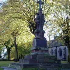
Coleshill War Memorial, Warwickshire
172 m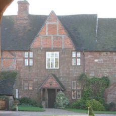
Priory Farmhouse
4.2 km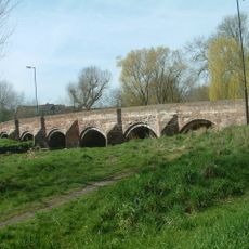
Cole Bridge
468 m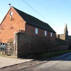
Outer Gatehouse and Attached Precinct Walls and Barn 200 Metres North of Priory Farmhouse
4.1 km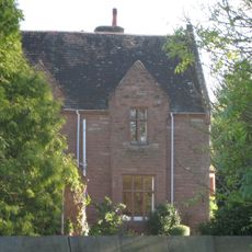
The Old Rectory
4.1 km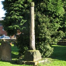
Churchyard cross, St Michael's churchyard
4.3 km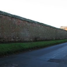
Precinct Wall, East of Outer Gatehouse and Bounding Churchyard of St Michael and All Saints on the West
4.2 km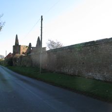
Precinct Wall, 60 Metres Northwest of Old Rectory
4 km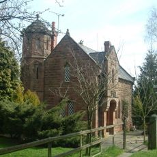
Blythe Lodge
1.6 km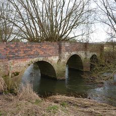
Blyth Hall Packhorse Bridge
2.3 kmOpiniones
¿Has visitado este lugar? Toca las estrellas para valorarlo y compartir tu experiencia o fotos con la comunidad. ¡Pruébalo ahora! Puedes cancelarlo en cualquier momento.
¡Encuentra tesoros escondidos en cada aventura!
Desde cafeterías con encanto hasta miradores secretos, escapa de las multitudes y encuentra lugares que van contigo de verdad. Nuestra app te lo pone fácil: búsqueda por voz, filtros inteligentes, rutas optimizadas y consejos auténticos de viajeros de todo el mundo. ¡Descárgala ya y vive la aventura en tu móvil!

Un enfoque novedoso para descubrir el turismo❞
— Le Figaro
Todos los lugares que merecen ser explorados❞
— France Info
Una excursión a medida en solo unos clics❞
— 20 Minutes