
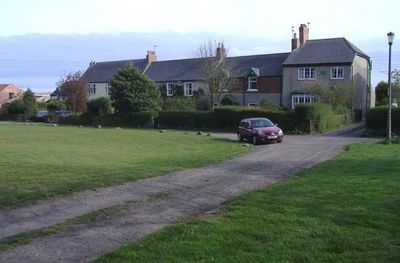
Burdon, village in United Kingdom
Ubicación: Sunderland
Coordenadas GPS: 54.85500,-1.39700
Última actualización: 10 de abril de 2025 a las 17:13

Seaham Hall
3.3 km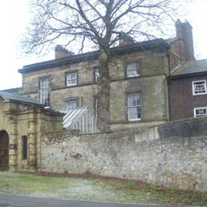
Doxford House
2 km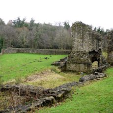
Dalden Tower
4.1 km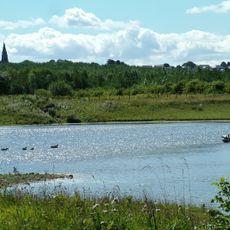
Rainton Meadows
5 km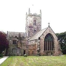
St Michael and All Angels Church, Houghton-le-Spring
4.8 km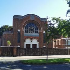
Sunderland Synagogue
4.7 km
St George's Church, Sunderland
5 km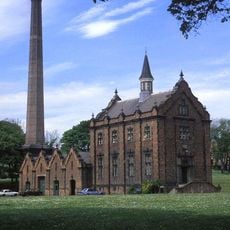
Ryhope Engines Museum
1.9 km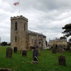
Church of St Mary, Seaham
3.5 km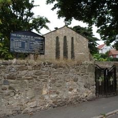
Church of St Andrew
3.8 km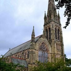
Church of St John and Attached Hall
4.6 km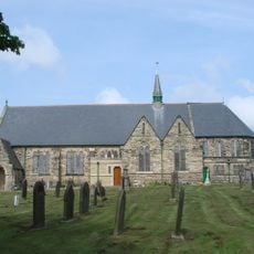
Church of St Matthew
4.8 km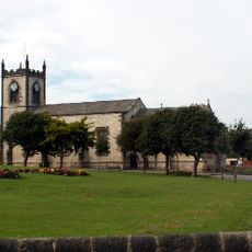
Church of St John the Evangelist
4.4 km
Christ Church
2.7 km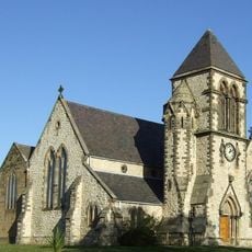
Church of St Paul
2.8 km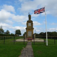
War Memorial in New Seaham Welfare Park
2.5 km
Church of St Mary Magdalen
3.9 km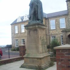
Statue of Charles Vane-Tempest-Stewart, 6th Marquess of Londonderry
4.6 km
Police Station
4.6 km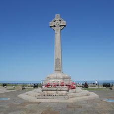
Seaham War Memorial
4.5 km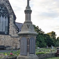
Memorial To 1880 Colliery Disater, In Garden Of Rest, 12 Metres East Of Christ Church
2.7 km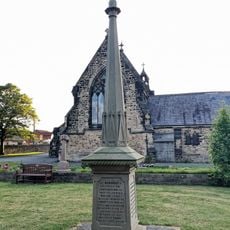
Memorial To 1871 Colliery Disaster, In Garden Of Rest, 20 Metres East Of Christ Church
2.7 km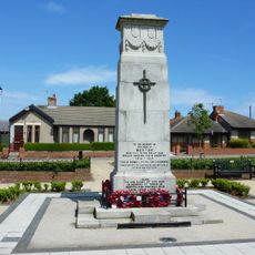
War Memorial, Village Green
4.2 km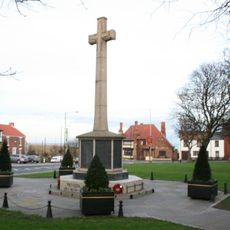
War Memorial at West End
2.9 km
Greystones
3.6 km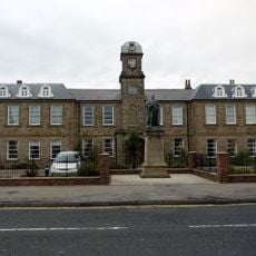
The Londonderry Institute And Forecourt Wall
4.3 km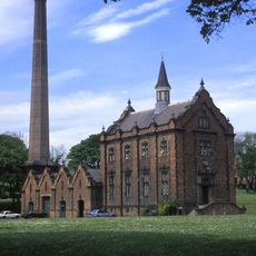
Engine House And Boiler House At Ryhope Pumping Station
1.9 km
Chimney To West Of Boiler House At Ryhope Pumping Station
1.9 kmOpiniones
¿Has visitado este lugar? Toca las estrellas para valorarlo y compartir tu experiencia o fotos con la comunidad. ¡Pruébalo ahora! Puedes cancelarlo en cualquier momento.
¡Encuentra tesoros escondidos en cada aventura!
Desde cafeterías con encanto hasta miradores secretos, escapa de las multitudes y encuentra lugares que van contigo de verdad. Nuestra app te lo pone fácil: búsqueda por voz, filtros inteligentes, rutas optimizadas y consejos auténticos de viajeros de todo el mundo. ¡Descárgala ya y vive la aventura en tu móvil!

Un enfoque novedoso para descubrir el turismo❞
— Le Figaro
Todos los lugares que merecen ser explorados❞
— France Info
Una excursión a medida en solo unos clics❞
— 20 Minutes