
Deserted village of Stretton Baskerville, archaeological site in Stretton Baskerville, Rugby, England, UK
Ubicación: Stretton Baskerville
Coordenadas GPS: 52.51700,-1.38224
Última actualización: 4 de marzo de 2025 a las 08:33


Liberty Way
4.1 km
De Montfort Park
5.5 km
St Mary's Church, Hinckley
2.7 km
Nuneaton Museum & Art Gallery
5.7 km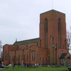
Our Lady of the Angels, Nuneaton
5.7 km
Burbage Wood and Aston Firs
4.2 km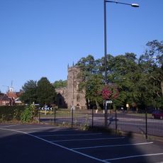
Church of St Nicholas
5.5 km
Nuneaton's Gold Belt
5.7 km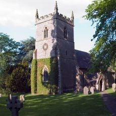
St Peter's Church, Aston Flamville
4.6 km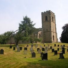
Church of St John the Baptist
3.4 km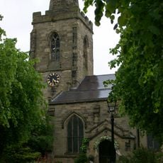
Church of St Catherine
2.7 km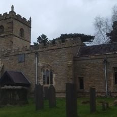
Church of St Botolph
1.7 km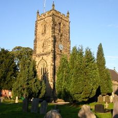
Church of St James
5.3 km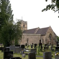
Church of All Saints
5.7 km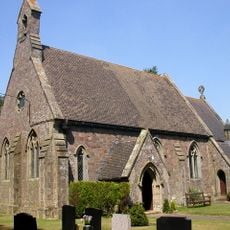
Church of St John
4.2 km
Church of St Peter
4.6 km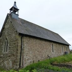
Church of St Mary
4.8 km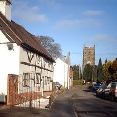
3 and 4, Church Street
5.4 km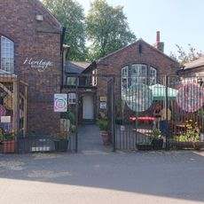
Nuneaton Heritage Centre
5.6 km
Nuneaton Boer War Memorial
5.7 km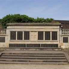
Hinckley War Memorial
2.8 km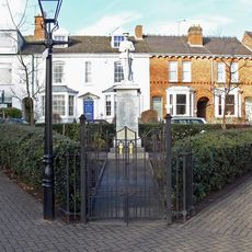
Burbage War Memorial
2.6 km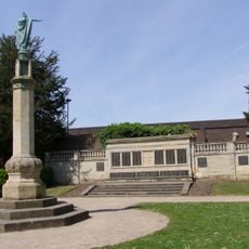
War Memorial
2.8 km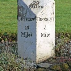
Milestone At Ngr Sp 4412 9332
3 km
King Edward The Sixth College
5.4 km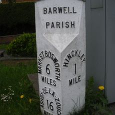
Milepost, by No. 240 Ashby Road, just S of jct with Normandy Way (A47)
4.6 km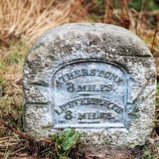
Milestone, N of Hinckley Island and Hanover Hotel
1.7 km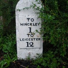
Milestone, entrance to Milestone House, opp entrance to golf club
4.5 kmOpiniones
¿Has visitado este lugar? Toca las estrellas para valorarlo y compartir tu experiencia o fotos con la comunidad. ¡Pruébalo ahora! Puedes cancelarlo en cualquier momento.
¡Encuentra tesoros escondidos en cada aventura!
Desde cafeterías con encanto hasta miradores secretos, escapa de las multitudes y encuentra lugares que van contigo de verdad. Nuestra app te lo pone fácil: búsqueda por voz, filtros inteligentes, rutas optimizadas y consejos auténticos de viajeros de todo el mundo. ¡Descárgala ya y vive la aventura en tu móvil!

Un enfoque novedoso para descubrir el turismo❞
— Le Figaro
Todos los lugares que merecen ser explorados❞
— France Info
Una excursión a medida en solo unos clics❞
— 20 Minutes