
Oorlogsmonument, war memorial in Staphorst, the Netherlands
Ubicación: Staphorst
Fundación: 1948
Apertura oficial: 1948
Dirección: Binnenweg, 7951 DE, Staphorst (Staphorst), Overijssel, Nederland
Coordenadas GPS: 52.64398,6.20998
Última actualización: 3 de marzo de 2025 a las 00:39

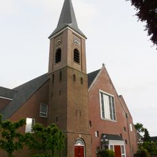
Dorpskerk
256 m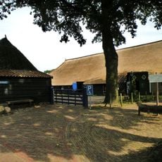
Gemeenteweg 67, Staphorst
364 m
Boerderij Staphorst
292 m
Gemeenteweg 112, Staphorst
363 m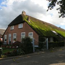
Industrieweg 1, Staphorst
382 m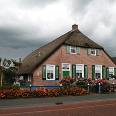
Gemeenteweg 41, Staphorst
342 m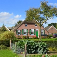
Gemeenteweg 47, Staphorst
391 m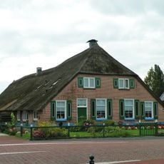
Gemeenteweg 60, Staphorst
229 m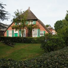
Gemeenteweg 55, Staphorst
295 m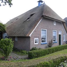
Gemeenteweg 96, Staphorst
330 m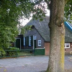
Gemeenteweg 103, Staphorst
425 m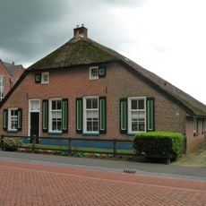
Gemeenteweg 48, Staphorst
276 m
Gave boerderij van het Staphorstse type
399 m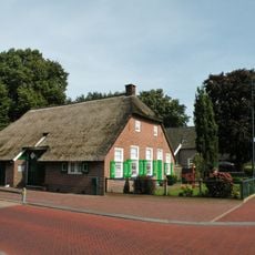
Gemeenteweg 83, Staphorst
328 m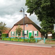
Gemeenteweg 51, Staphorst
324 m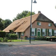
Gemeenteweg 6, Staphorst
420 m
Gemeenteweg 24, Staphorst
344 m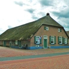
Gave boerderij van het Staphorstse type
277 m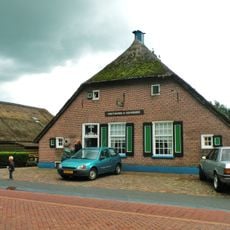
Gemeenteweg 46, Staphorst
270 m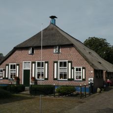
Gemeenteweg 57, Staphorst
330 m
Gemeenteweg 49, Staphorst
331 m
Gemeenteweg 82, Staphorst
229 m
Gemeenteweg 56, Staphorst
238 m
Gemeenteweg 106, Staphorst
321 m
Pastorie, Staphorst
289 m
In hoofdvorm gaaf bewaarde boerderij van het Staphorstse type
371 m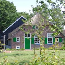
Industrieweg 8, Staphorst
350 m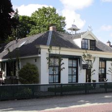
Gemeenteweg 85, Staphorst
352 mOpiniones
¿Has visitado este lugar? Toca las estrellas para valorarlo y compartir tu experiencia o fotos con la comunidad. ¡Pruébalo ahora! Puedes cancelarlo en cualquier momento.
¡Encuentra tesoros escondidos en cada aventura!
Desde cafeterías con encanto hasta miradores secretos, escapa de las multitudes y encuentra lugares que van contigo de verdad. Nuestra app te lo pone fácil: búsqueda por voz, filtros inteligentes, rutas optimizadas y consejos auténticos de viajeros de todo el mundo. ¡Descárgala ya y vive la aventura en tu móvil!

Un enfoque novedoso para descubrir el turismo❞
— Le Figaro
Todos los lugares que merecen ser explorados❞
— France Info
Una excursión a medida en solo unos clics❞
— 20 Minutes