
Linear earthwork 230m south west of Covers Farm
Linear earthwork 230m south west of Covers Farm, archaeological site in Limpsfield, Tandridge, England, UK
Ubicación: Limpsfield
Coordenadas GPS: 51.26260,0.05180
Última actualización: 8 de abril de 2025 a las 04:01
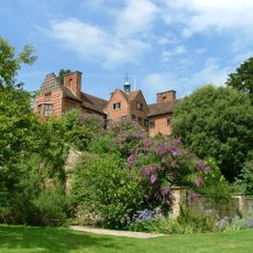
Chartwell
3 km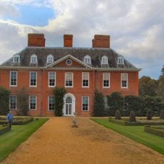
Squerryes Court
864 m
Titsey Place
3 km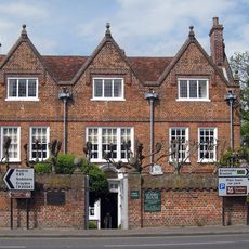
Quebec House
1.8 km
All Saints Church, Oxted
3.9 km
Holy Trinity Church, Crockham Hill
3 km
Westerham Wood
1.7 km
Church of St James the Greater
2.8 km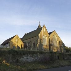
Church of St Peter
2.8 km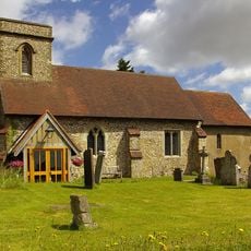
Church of St Mary the Virgin
3.1 km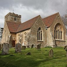
Church of St Martin
4.1 km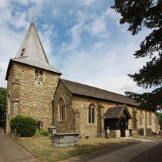
Church of St Mary the Virgin
1.6 km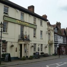
The King's Arms Hotel
1.4 km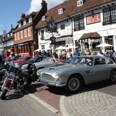
The George And Dragon Hotel
1.5 km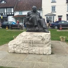
Statue of Sir Winston Churchill
1.6 km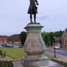
Statue of General Wolfe
1.5 km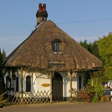
Cottage Orne Attached To Spinning Wheel Restaurant
3.4 km
Everyman Oxted
4.1 km
United Reformed Church and Attached Walls
3.9 km
Tenchleys Manor
2.7 km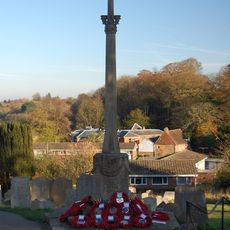
Westerham War Memorial
1.6 km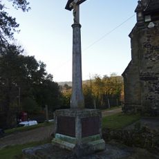
Limpsfield War Memorial
2.8 km
Former Stables And Coach House And Linking Wall And Mounting Block To The South West Of Foxwold
3.2 km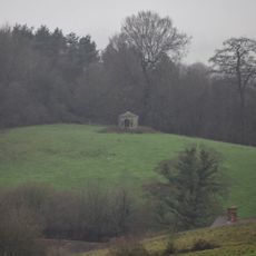
Gazebo About 330 Yards West Of Squerryes Court On Top Of Hill At Other Side Of Road
556 m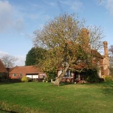
Stockenden
3.7 km
Milestone, half mile E of Oxted viaduct, 70m W of jct with Detillens Lane
3.4 km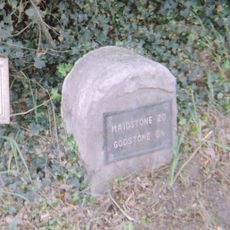
Milestone, Westerham Road, by Heverswood Lodge, W edge of village
3.7 km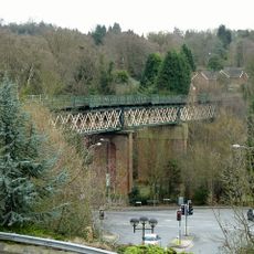
Oxted Viaduct
3.9 kmOpiniones
¿Has visitado este lugar? Toca las estrellas para valorarlo y compartir tu experiencia o fotos con la comunidad. ¡Pruébalo ahora! Puedes cancelarlo en cualquier momento.
¡Encuentra tesoros escondidos en cada aventura!
Desde cafeterías con encanto hasta miradores secretos, escapa de las multitudes y encuentra lugares que van contigo de verdad. Nuestra app te lo pone fácil: búsqueda por voz, filtros inteligentes, rutas optimizadas y consejos auténticos de viajeros de todo el mundo. ¡Descárgala ya y vive la aventura en tu móvil!

Un enfoque novedoso para descubrir el turismo❞
— Le Figaro
Todos los lugares que merecen ser explorados❞
— France Info
Una excursión a medida en solo unos clics❞
— 20 Minutes