
Denton with Wootton, civil parish in Dover, Kent, England
Ubicación: Dover
Coordenadas GPS: 51.17800,1.17300
Última actualización: 3 de marzo de 2025 a las 06:50
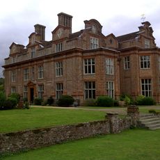
Broome Park
2.2 km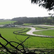
Lydden Hill Race Circuit
1.9 km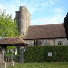
St Peter's Church, Swingfield
3.7 km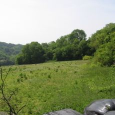
Alkham, Lydden and Swingfield Woods
5.2 km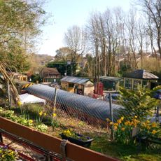
East Kent Railway Trust
4.2 km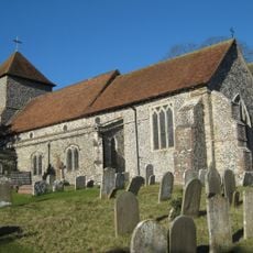
Church of St Anthony the Martyr
5.8 km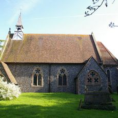
Church of St Andrew
4.4 km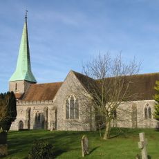
Church of St John the Baptist
3.3 km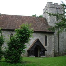
Church of St Mary Magdalene
279 m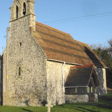
Church of St Pancras
5.6 km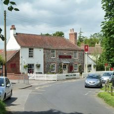
The Bell Inn
4.4 km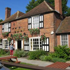
The Jackdaw Inn
478 m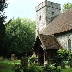
Church of St Martin
707 m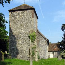
Church of St Mary Church of St Mary Virgin
4.7 km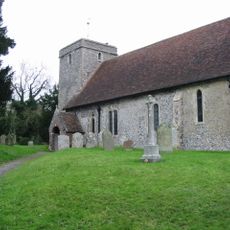
Church of St Margaret
3.8 km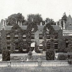
Denton Court And Entrance Court
224 m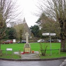
Shepherdswell War Memorial
4.4 km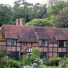
Tappington Hall
1.1 km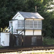
Shepherds Well Signal Box
4.1 km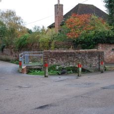
Footbridge At Ford
2.9 km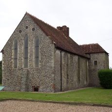
Swingfield Preceptory
3.2 km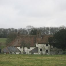
West Court West Court Farmhouse
3.1 km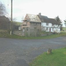
Parsonage Farmhouse
4.2 km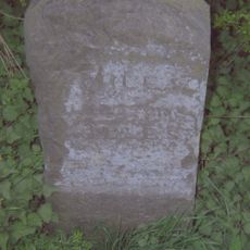
Milestone, Canterbury Road, Selsted, 200m N of jct with Mansell Lane
2.9 km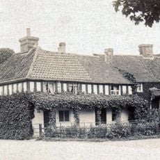
The Old Bakery
476 m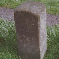
Milestone, The Street, S of village and N of jct with Denton Lane (to Wootten)
346 m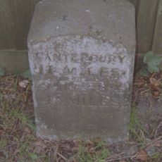
Milestone, Canterbury Road, Swingfield Minnis, by "Thornedene"
4.4 km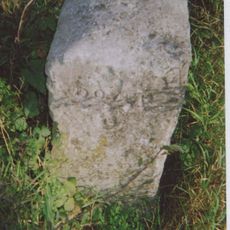
Milestone, bottom of Lydden Hill, N of Bell Farm, opp. Swanton Lane
4.3 kmOpiniones
¿Has visitado este lugar? Toca las estrellas para valorarlo y compartir tu experiencia o fotos con la comunidad. ¡Pruébalo ahora! Puedes cancelarlo en cualquier momento.
¡Encuentra tesoros escondidos en cada aventura!
Desde cafeterías con encanto hasta miradores secretos, escapa de las multitudes y encuentra lugares que van contigo de verdad. Nuestra app te lo pone fácil: búsqueda por voz, filtros inteligentes, rutas optimizadas y consejos auténticos de viajeros de todo el mundo. ¡Descárgala ya y vive la aventura en tu móvil!

Un enfoque novedoso para descubrir el turismo❞
— Le Figaro
Todos los lugares que merecen ser explorados❞
— France Info
Una excursión a medida en solo unos clics❞
— 20 Minutes