
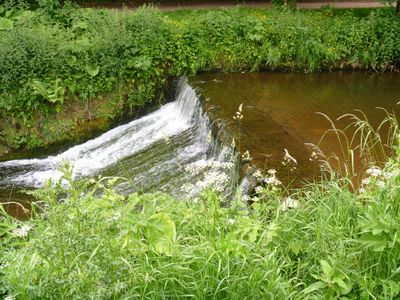
Weir On River Skell Approximately 120 Metres West Of The Reservoir
Weir On River Skell Approximately 120 Metres West Of The Reservoir, weir in Lindrick with Studley Royal and Fountains, Harrogate, North Yorkshire, UK
Ubicación: Lindrick with Studley Royal and Fountains
Coordenadas GPS: 54.11041,-1.57528
Última actualización: 7 de marzo de 2025 a las 04:20

Parque Real de Studley
569 m
Fountains Hall
731 m
Markenfield Hall
1.9 km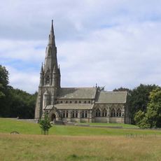
Iglesia de Santa María (Studley)
975 m
Church of Saint Lawrence
1.7 km
Statue on West Side of North Crescent Pond
537 m
Studley Royal Park including the Ruins of Fountains Abbey
651 m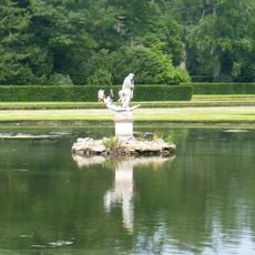
Statue of Neptune and Pedestal in Centre of Moon Pond
470 m
The Octagon Tower
644 m
Weir and reservoir below Tent Hill
330 m
Temple Of Piety On East Side Of Moon Pond
479 m
The Wrestlers
589 m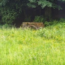
Robin Hood's Well
198 m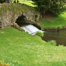
Rustic Bridge At South End Of The Canal, With Culvert And Arch To Reservoir
261 m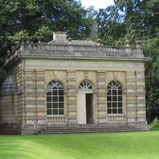
Banqueting House Approximately 100 Metres To West Of The Canal
536 m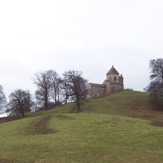
How Hill Tower
1.3 km
The Obelisk Approximately 80 Metres West Of Church Of St Mary
977 m
Tunnel Approximately 20 Metres West Of The Octagon, With Flanking Wall Attached To South
651 m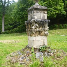
Quebec Monument
308 m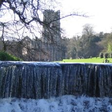
Weir At North End Of The Canal, With Piers, Fishing Pavilions And Balustrade
719 m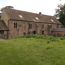
Abbey Mill
631 m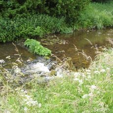
Weir On River Skell Approximately 10 Metres East Of The Infirmary At Fountains Abbey
243 m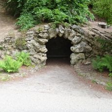
Grotto On North Side Of Reservoir
336 m
Boundary Wall With West And South Gates, Church Of St Mary
977 m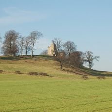
Site of medieval chapel and section of Fountains Park park pale, 170m south west of How Hill Farm
1.4 km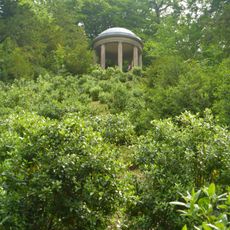
Temple Of Fame On Cliff Top At South Side Of Moon Pond
388 m
The Canal Gates And Flanking Walls On West Side Of The Lake
701 m
Stewards House, Now National Trust Restaurant And Shop
698 mOpiniones
¿Has visitado este lugar? Toca las estrellas para valorarlo y compartir tu experiencia o fotos con la comunidad. ¡Pruébalo ahora! Puedes cancelarlo en cualquier momento.
¡Encuentra tesoros escondidos en cada aventura!
Desde cafeterías con encanto hasta miradores secretos, escapa de las multitudes y encuentra lugares que van contigo de verdad. Nuestra app te lo pone fácil: búsqueda por voz, filtros inteligentes, rutas optimizadas y consejos auténticos de viajeros de todo el mundo. ¡Descárgala ya y vive la aventura en tu móvil!

Un enfoque novedoso para descubrir el turismo❞
— Le Figaro
Todos los lugares que merecen ser explorados❞
— France Info
Una excursión a medida en solo unos clics❞
— 20 Minutes