
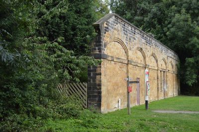
East platform wall at former Bakewell Railway Station
East platform wall at former Bakewell Railway Station, Grade II listed wall in Bakewell, Derbyshire Dales, Derbyshire, UK
Ubicación: Bakewell
Coordenadas GPS: 53.21753,-1.66778
Última actualización: 4 de marzo de 2025 a las 02:27
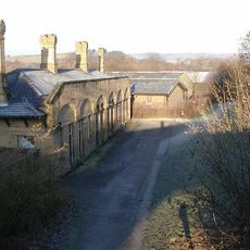
Bakewell railway station
24 m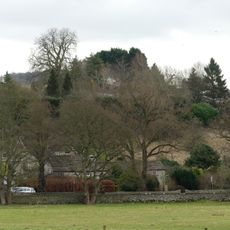
Bakewell Castle
268 m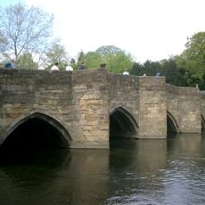
Bakewell Bridge
474 m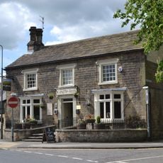
The Castle Inn
525 m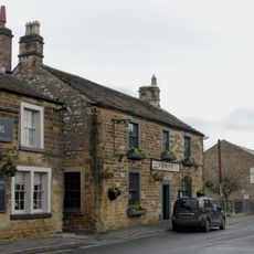
The Peacock
566 m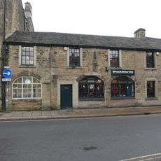
Premises occupied by John Brocklehurst at SK 2189 6959
552 m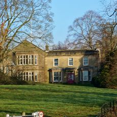
Aldern House (eastern part only)
550 m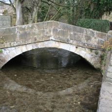
Milford Bridge
496 m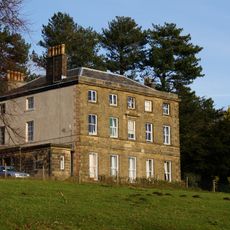
The Brooklands including service range and linking wall
520 m
Entrance gateway and attached garden wall at The Brooklands
490 m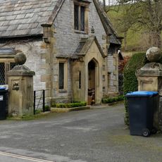
Entrance gate piers and attached walls at East and West Lodges to Holme Hall
544 m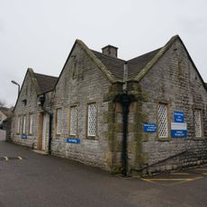
Northern part of The Busy Bee Day Nursery at Newholme Hospital
366 m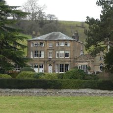
Burre House (excluding C20 garages at rear of eastern wing)
526 m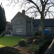
Community Transport Office at Newholme Hospital
379 m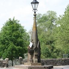
Drinking fountain at junction with Baslow Road and Coombs Road
423 m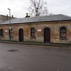
Former coal merchants ofice at former Bakewell Railway Station
77 m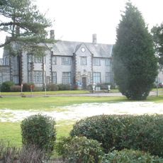
Newholme Hospital (Main Building)
336 m
Wye Bank (Number 6)
496 m
Riversdale
522 m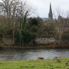
Perimeter wall to gardens at ends and rear of Numbers 1-6 (Consecutive)
474 m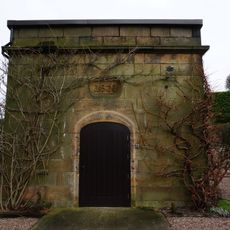
Small stone building in garden of Coombs Hay (Coombs Hay not included)
270 m
The West Lodge
556 m
Bridge House and Bridgeway
534 m
Nurses home at rear of Newholme Hospital
304 m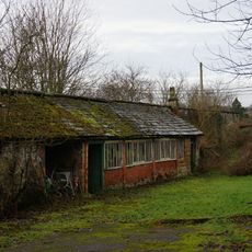
Kitchen garden walls with attached potting sheds at The Brooklands
476 m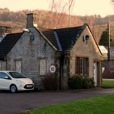
Newholme Hospital Porters Lodge
372 m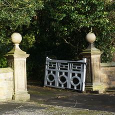
Main entrance gateway to Burre House with attached wing walls
413 m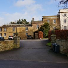
Castle Hill House and stable block with gates adjoining Castle Hill House
363 mOpiniones
¿Has visitado este lugar? Toca las estrellas para valorarlo y compartir tu experiencia o fotos con la comunidad. ¡Pruébalo ahora! Puedes cancelarlo en cualquier momento.
¡Encuentra tesoros escondidos en cada aventura!
Desde cafeterías con encanto hasta miradores secretos, escapa de las multitudes y encuentra lugares que van contigo de verdad. Nuestra app te lo pone fácil: búsqueda por voz, filtros inteligentes, rutas optimizadas y consejos auténticos de viajeros de todo el mundo. ¡Descárgala ya y vive la aventura en tu móvil!

Un enfoque novedoso para descubrir el turismo❞
— Le Figaro
Todos los lugares que merecen ser explorados❞
— France Info
Una excursión a medida en solo unos clics❞
— 20 Minutes