
King's Thorn, village in the United Kingdom
Ubicación: Herefordshire
Coordenadas GPS: 51.98400,-2.72800
Última actualización: 13 de marzo de 2025 a las 06:59
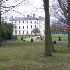
The Mynde
3.8 km
Aconbury Camp
1.1 km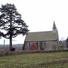
Former Church of St John the Baptist
2.2 km
Church of St David
2.1 km
Church of St John the Baptist
3.8 km
Church of St Junabius
3.9 km
Church of St Mary
2.5 km
Christ Church
3.9 km
Church of Ss Mary and Thomas A Becket
1.5 km
Church of St Michael
2.1 km
Church of St David
2.9 km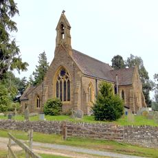
Church of St Mary
1.3 km
Kings Thorn Dragon
1.2 km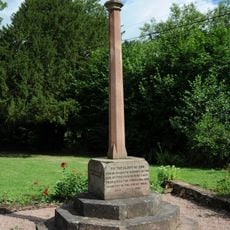
Llanwarne War Memorial
3.8 km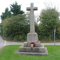
Much Dewchurch War Memorial
2.2 km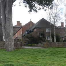
Outbuilding attached to north west of The Mynde
3.8 km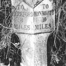
Milepost At Ngr So 495279
4.1 km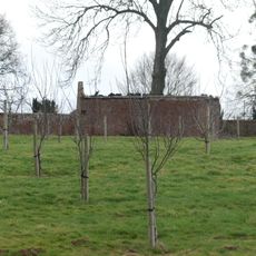
Kitchen garden walls to north of The Mynde
3.8 km
Stables and outbuildings attached to south-west of The Mynde
3.8 km
Milestone At Ngr So 512298
2.4 km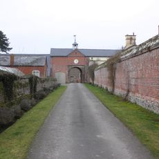
Garden walls to south of The Mynde
3.8 km
Churchyard cross in St David's churchyard
2.1 km
Ha ha about 30 yards to east of The Mynde
3.8 km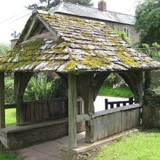
Lych Gate About 10 Yards South Of The Church Of St John The Baptist
3.8 km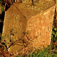
Milepost, SE Wormelow Tump
2.3 km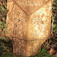
Milepost, Church View
2 km
Milestone, Portway; N of village
3.6 km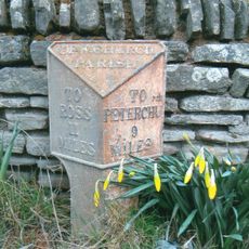
Milepost, Church View, The Rhydd (ruined property)
3.4 kmOpiniones
¿Has visitado este lugar? Toca las estrellas para valorarlo y compartir tu experiencia o fotos con la comunidad. ¡Pruébalo ahora! Puedes cancelarlo en cualquier momento.
¡Encuentra tesoros escondidos en cada aventura!
Desde cafeterías con encanto hasta miradores secretos, escapa de las multitudes y encuentra lugares que van contigo de verdad. Nuestra app te lo pone fácil: búsqueda por voz, filtros inteligentes, rutas optimizadas y consejos auténticos de viajeros de todo el mundo. ¡Descárgala ya y vive la aventura en tu móvil!

Un enfoque novedoso para descubrir el turismo❞
— Le Figaro
Todos los lugares que merecen ser explorados❞
— France Info
Una excursión a medida en solo unos clics❞
— 20 Minutes